Hi all,
I was reading this post on the global CO2 map (We Launched the Largest Real-Time Global CO<sub>2</sub> Map), and found it fascinating. I particularly liked the graph showing how the average global CO2 ppm increased over the years.
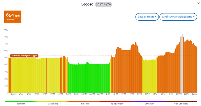
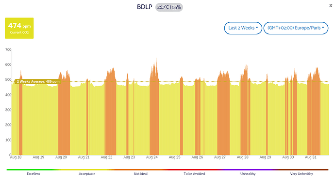
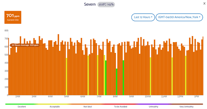
Now, while I understand the blog described use cases of detecting CO2 spikes, and how one can correlate that to particular emissions, I am also a bit concerned about a potential limitation on measuring baseline CO2 levels.
I thought the latter would be relevant for (a) measure the global average trend of outdoor CO2 levels; (b) identify places / cities that have baseline CO2 concentration higher than others; and (c) fine tune calibration of indoor monitors by understanding what is the actual CO2 outdoor level around me (instead of hardcoded 400ppm).
However, as the sensor drifts over time and calibration is needed (by default every week), I believe it might not be possible to evaluate any of the aforementioned items, right? Because either the sensor will get an offset to force its baseline to artificially become 400ppm again, or we disable the calibration, but then no longer know if the observed baseline drift of CO2 level is caused by environmental conditions or rather sensor electronics. And yet another factor to account for is the altitude above sea level where the monitor is located.
I wanted to share these raw thoughts on the forum to confirm whether these are indeed limitations, or if I may have misunderstood or overlooked something here. I am looking to learn more from the community and also to understand how I can best make use of the global CO2 map. Any thoughts would be very appreciated, thanks!


